Navigating the vast waters of international trade can be daunting, especially when shipping from China to the USA. But don’t worry! I’ve been there, and I’m here to share what I’ve learned along the way.
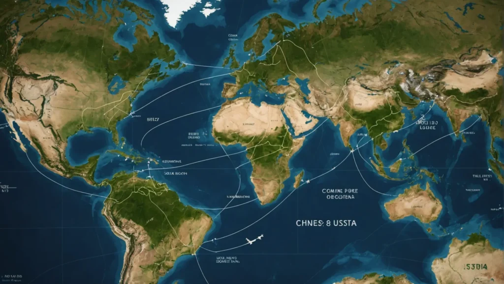
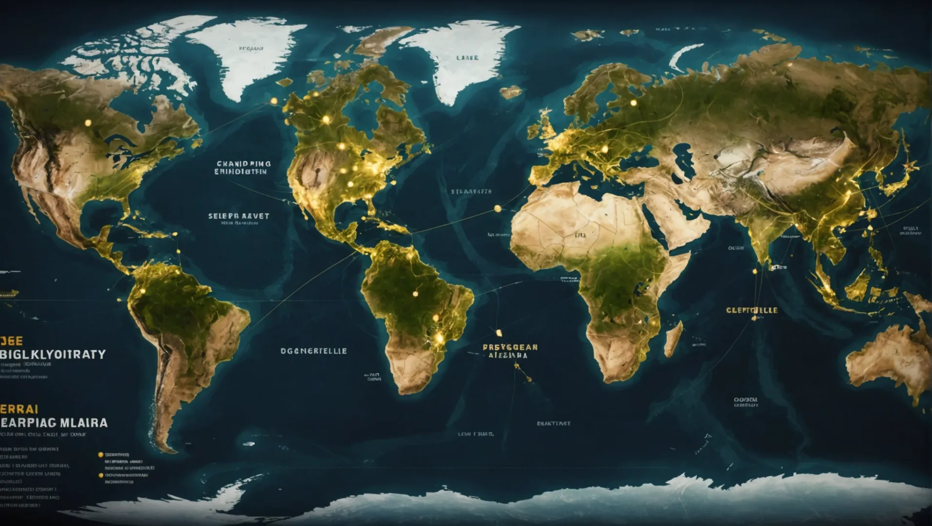
The most common shipping route from China to the USA passes through the South China Sea, across the Pacific Ocean, and typically lands at major ports like Los Angeles and Long Beach.
While this primary route serves as the backbone of trans-Pacific trade, understanding alternative routes and logistics optimization can greatly benefit your business strategy. Dive deeper into these aspects as we explore further.
The South China Sea is part of the main shipping route to the USA.True
The primary route from China to the USA passes through the South China Sea.
What Are Alternative Shipping Routes from China to the USA?
Exploring alternative shipping routes can optimize costs, reduce transit times, and avoid congested ports.
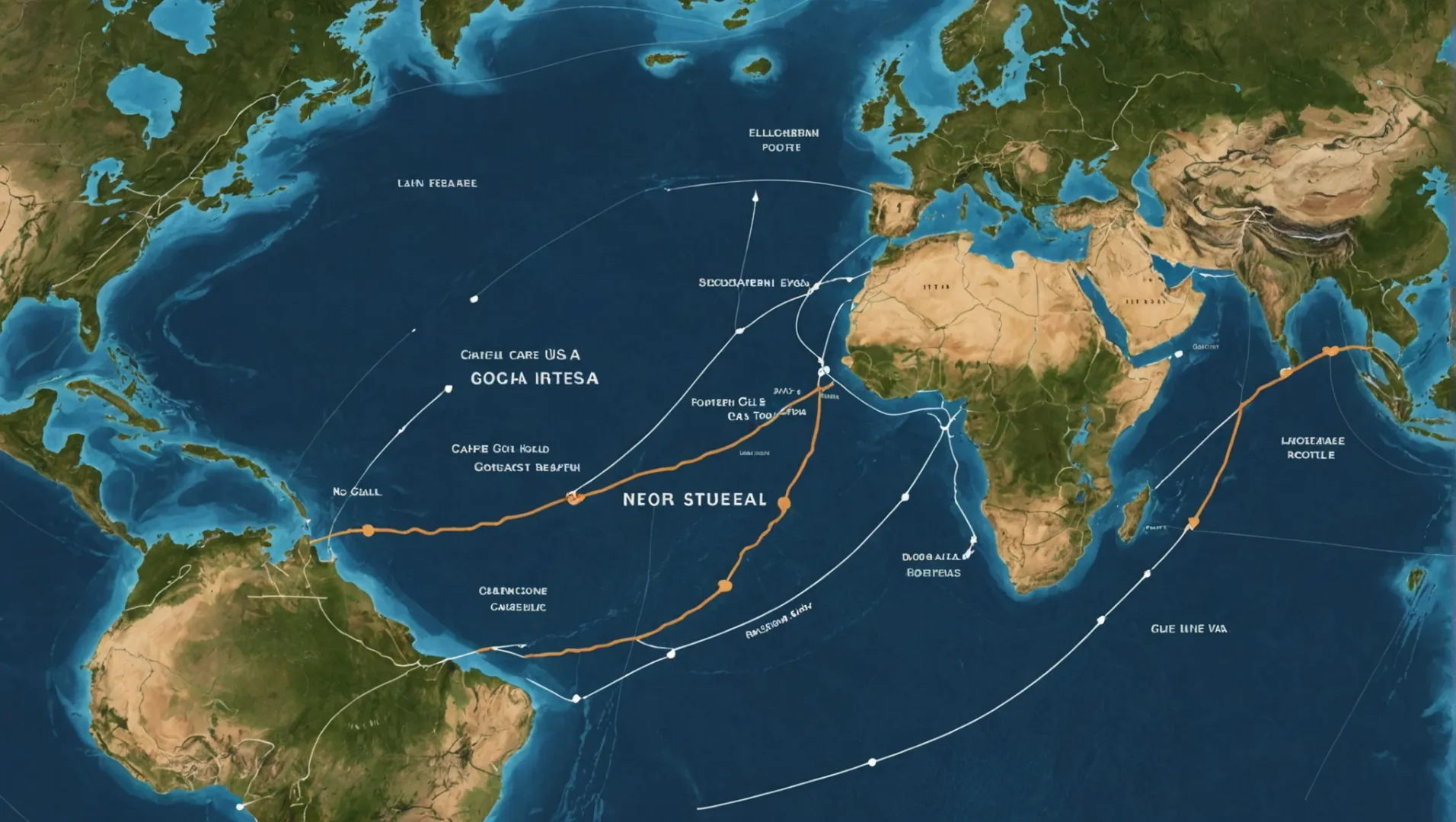
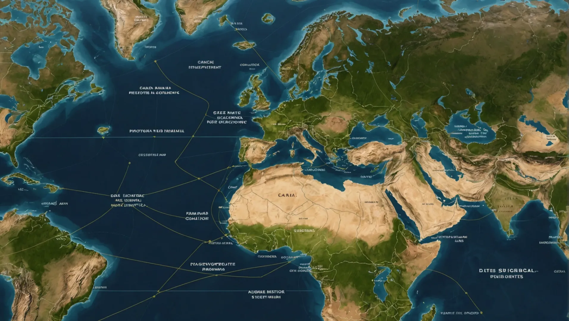
Alternative shipping routes from China to the USA include the Northern Sea Route, the Cape of Good Hope route, and the Suez Canal passage. Each offers unique advantages in terms of cost, time, and environmental conditions.
Northern Sea Route
The Northern Sea Route1 is an emerging alternative as Arctic ice recedes, opening new pathways. This route allows vessels to travel north of Russia, significantly shortening the distance between China and the eastern USA.
Pros:
- Reduced Transit Time: This route can cut shipping time by up to 10 days compared to the traditional path via the Suez Canal.
- Environmental Benefits: Ships can benefit from lower fuel consumption and reduced emissions due to shorter distances.
Cons:
- Seasonal Limitations: Ice conditions limit accessibility, making it viable only during summer months.
- Infrastructure Challenges: Lack of developed ports along the route can pose logistical difficulties.
Cape of Good Hope Route
The Cape of Good Hope route circumvents the southern tip of Africa. Although longer, it avoids congestion in major canals and potential geopolitical issues in certain areas.
Pros:
- Avoids Canal Fees: Bypassing the Suez or Panama Canal can lead to significant cost savings.
- Geopolitical Stability: Lower risk of disruptions due to political instability or piracy in certain regions.
Cons:
- Extended Duration: Longer distances result in extended shipping times and higher fuel costs.
Suez Canal Passage
While traditionally utilized, exploring alternative routes that still incorporate the Suez Canal can be beneficial. Utilizing transshipment hubs2 like Singapore or Dubai can optimize cargo distribution.
Pros:
- Strategic Hubs: Access to advanced port facilities for cargo consolidation and distribution.
- Established Infrastructure: Well-developed support systems and services along this route.
Cons:
- Canal Fees: Substantial fees for passage can increase operational costs.
- Traffic Congestion: High traffic levels can lead to delays and scheduling issues.
Alternative Port Options in the USA
Choosing different entry ports can also serve as a form of alternative routing. Ports such as Seattle, Savannah, or even Houston offer diverse entry points for goods arriving from China.
| Port Name | Location | Primary Advantage |
|---|---|---|
| Seattle | West Coast USA | Proximity to tech industries |
| Savannah | East Coast USA | Access to southeastern markets |
| Houston | Gulf Coast USA | Central access to multiple states |
Exploring these alternative ports3 allows businesses to strategically distribute their goods based on market demand and logistical considerations.
The Northern Sea Route reduces transit time by 10 days.True
The Northern Sea Route shortens the distance, reducing time by 10 days.
The Cape of Good Hope route increases shipping costs.True
Longer distances on this route lead to higher fuel and operational costs.
How Do Shipping Routes Affect Costs and Transit Times?
Understanding the influence of shipping routes on costs and transit times is crucial for efficient trade logistics.
Shipping routes significantly impact both costs and transit times. Direct routes usually offer faster delivery but may incur higher fees, while indirect routes might reduce costs at the expense of longer transit periods. Strategic route selection balances these factors to optimize supply chain efficiency.
The Impact of Geography on Shipping Costs
Geography plays a pivotal role in determining the cost-effectiveness of shipping routes. For instance, a direct route from China to the USA via the Pacific Ocean can be more expensive due to higher tariffs and fuel costs. However, these routes often ensure quicker delivery times, which can be crucial for time-sensitive goods.
In contrast, shipping through less direct routes like the Suez Canal4 can reduce immediate costs but increase transit time. Businesses must weigh these factors when deciding the most economical path for their shipments.
Navigating Through Political and Environmental Factors
Political stability and environmental considerations also affect shipping routes. For instance, routes passing through politically unstable regions may face unexpected delays or require higher insurance premiums, impacting overall costs. Meanwhile, environmental regulations, such as those aiming to reduce carbon emissions, might mandate slower speeds or specific pathways, affecting transit times.
Case Study: The Panama Canal's Influence on Shipping Logistics
The Panama Canal serves as a critical shortcut for shipping between the Atlantic and Pacific Oceans, significantly reducing travel distance and, consequently, fuel costs. However, its usage comes with its own set of fees and limitations on vessel size, which can influence the decision-making process for businesses shipping from China to Eastern US ports.
A comparative analysis of shipping routes through the Panama Canal and around Cape Horn can illustrate how businesses must balance cost versus time efficiency in their logistics strategies.
| Route | Average Cost | Transit Time | Key Considerations |
|---|---|---|---|
| Direct (Pacific) | High | Fast | Higher tariffs and fuel costs |
| Suez Canal | Medium | Slow | Lower immediate costs but longer duration |
| Panama Canal | Medium | Moderate | Reduced distance but canal fees |
Strategic Route Selection: Balancing Act Between Cost and Efficiency
Ultimately, choosing the right shipping route requires a delicate balance between cost savings and transit efficiency. Companies often employ logistics experts to analyze these factors deeply and make informed decisions that align with their broader supply chain objectives. Implementing technology like AI-driven logistics platforms5 can further optimize route selection by predicting potential disruptions and suggesting alternative paths.
Direct shipping routes always reduce costs.False
Direct routes often incur higher fees despite faster delivery.
The Panama Canal reduces shipping distance and fuel costs.True
It shortens travel between Atlantic and Pacific, saving fuel.
Which Ports Are Key Entry Points for Goods from China?
Understanding the key ports for goods from China can optimize your shipping strategy and reduce costs.
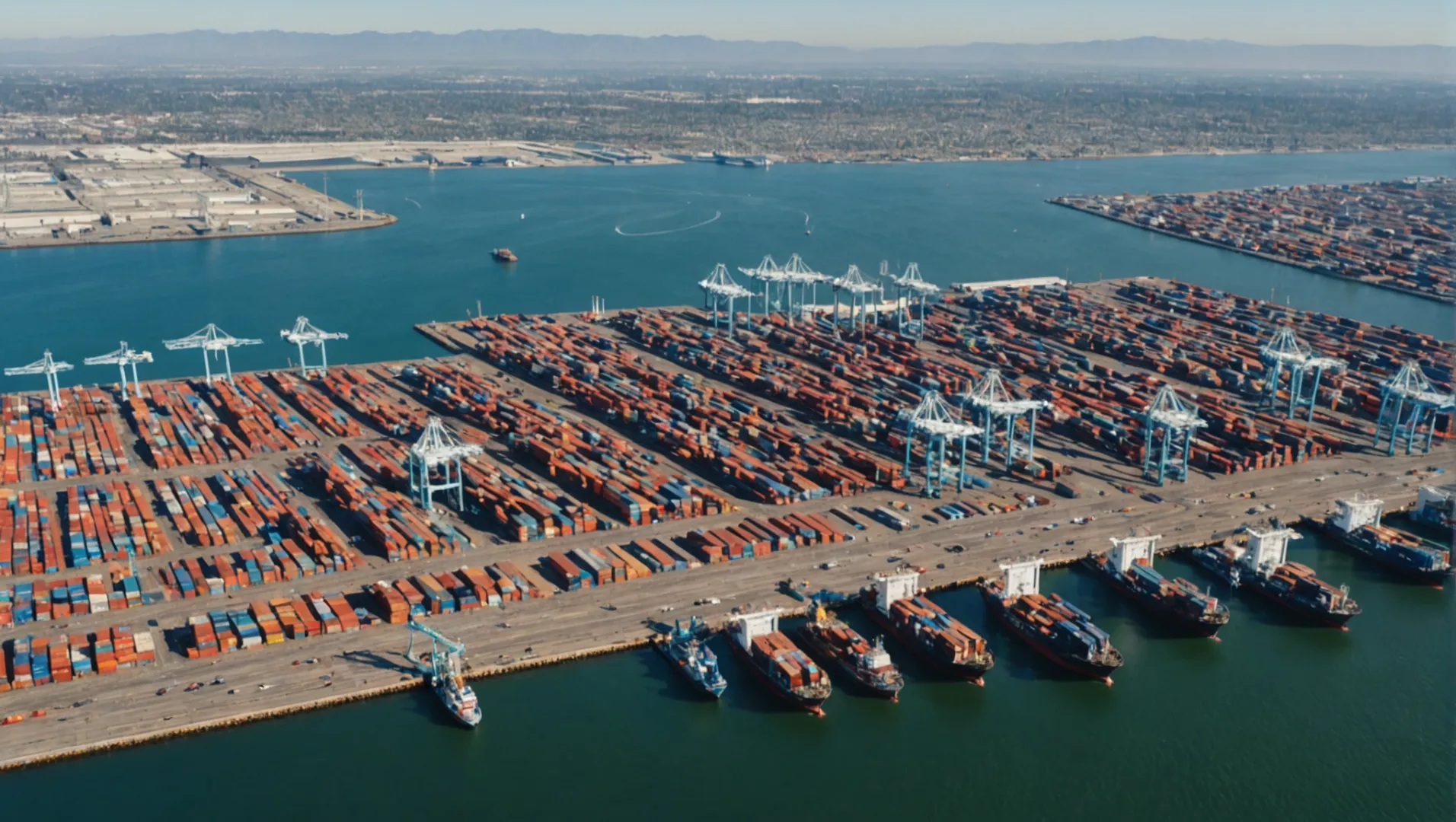
The primary entry points for goods from China into the USA are the ports of Los Angeles, Long Beach, and Oakland on the West Coast. These ports handle a significant volume of imports due to their proximity to Asia and well-established logistics infrastructure.
Understanding the Importance of Key Ports
Shipping goods from China involves strategic planning around entry points. The Port of Los Angeles6 and the Port of Long Beach7 are two of the busiest ports in the United States, handling a substantial portion of U.S.-bound cargo from Asia.
The Role of West Coast Ports
West Coast ports are strategically significant due to their geographical proximity to Asia. This not only shortens transit times but also reduces shipping costs. Additionally, these ports have extensive logistical capabilities, including vast container yards, advanced cranes, and efficient rail and road connections.
| Port | Location | Key Features |
|---|---|---|
| Los Angeles | California | Largest container port in the USA |
| Long Beach | California | Significant container throughput |
| Oakland | California | Efficient intermodal transportation |
Alternative Entry Points
While the West Coast ports dominate, other ports on the East Coast and Gulf of Mexico also serve as vital entry points, especially when considering diversified shipping strategies to avoid congestion or delays. The Port of New York/New Jersey8 is notable on the East Coast, while Houston serves the Gulf region effectively.
Factors Influencing Port Selection
Choosing the right port depends on several factors, including:
- Proximity to Final Destination: Selecting a port closer to the end destination can minimize overland transport costs.
- Port Congestion: Periods of high congestion can delay shipments and increase costs. Ports like Los Angeles are frequently monitored for congestion levels.
- Seasonal Variations: Demand spikes during certain times (e.g., holiday seasons) can affect port efficiency and costs.
Selecting a suitable port can significantly impact your overall logistics strategy. Exploring alternative routes and ports ensures flexibility and resilience in supply chain management. For more insights on optimizing your shipping strategies, exploring dedicated shipping logistics guides9 can provide deeper understanding.
The Port of Los Angeles is the largest container port in the USA.True
The Port of Los Angeles handles the most container traffic in the USA.
The Port of Oakland is located on the East Coast.False
The Port of Oakland is located on the West Coast, in California.
What Factors Should You Consider When Choosing a Shipping Route?
Selecting the right shipping route is crucial for efficient and cost-effective delivery.
When choosing a shipping route, consider factors such as cost, transit time, environmental conditions, port capabilities, and geopolitical stability to ensure optimal efficiency and reliability.
Economic Considerations
One of the primary factors in selecting a shipping route is cost. Different routes may have varying costs due to fuel prices, canal fees, or port charges. For example, the Suez Canal10 route might be more expensive due to transit fees but could save time compared to navigating around the Cape of Good Hope.
Additionally, assess the potential for economies of scale. Shipping larger volumes on high-traffic routes could lower per-unit costs. However, ensure demand aligns with capacity to avoid excess inventory costs.
Transit Time and Reliability
Speed is often critical in supply chain management. Routes with direct paths and fewer stops generally offer faster transit times. Consider the balance between speed and cost; sometimes a slightly longer route might provide better reliability due to less congestion.
For instance, opting for a northern route through the Arctic could reduce time during certain months but might involve risks associated with ice conditions. Analyze historical data on delays to make informed decisions.
Environmental and Weather Conditions
Weather patterns and seasonal changes can significantly impact shipping routes. Typhoon seasons in the Pacific or winter storms in the North Atlantic can disrupt schedules.
Use predictive analytics and historical weather data to forecast potential disruptions. Furthermore, consider the environmental regulations applicable on certain routes which might affect fuel type usage.
Port Capabilities and Infrastructure
Evaluate the infrastructure at destination and transit ports. Ports equipped with modern handling facilities can expedite loading and unloading processes, reducing overall transit time.
Check for any draft restrictions that could limit vessel types or sizes, impacting cargo volume and shipping frequency. Ports with advanced security protocols also ensure the safety of goods.
Geopolitical Factors
Geopolitical stability is crucial for uninterrupted shipping operations. Political unrest or sanctions can lead to sudden route changes or increased insurance premiums.
Stay updated on international relations and regional policies affecting maritime trade. Collaborate with logistics experts who can provide insights into potential geopolitical risks on your preferred routes.
Suez Canal is cheaper than the Cape of Good Hope route.False
Suez Canal is often more expensive due to transit fees.
Weather impacts shipping routes significantly.True
Weather patterns like typhoons can disrupt shipping schedules.
Conclusion
Understanding shipping routes is vital for enhancing logistical efficiency. Embrace these insights to optimize your supply chain and ensure timely deliveries.
-
Discover how this route reduces transit time significantly.: The length of the Northern Sea Route is its key advantage ... Further development of the Northwest Passage would lessen maritime shipping distances considerably. ↩
-
Learn how transshipment hubs optimize shipping routes.: What's the Benefit of Transshipping? First and foremost, transshipping is more affordable than direct shipping. If production and lead times are ... ↩
-
Find out how diverse ports enhance market access.: Top 10 US ports buoyed by import volumes from China ; Norfolk, 123,218, 18.8% ; Seattle/Tacoma, 122,469, 15.7% ; Charleston, 93,568, 14.4% ; Oakland ... ↩
-
Understand how using the Suez Canal affects shipping expenses.: The Suez Canal has become a less preferred option for transporting goods, leading to higher shipping rates, prolonged transit times, and delays. ↩
-
Explore AI's role in optimizing shipping route decisions.: Artificial intelligence can address many logistics and supply chain challenges, including vehicle routing. ↩
-
Discover why this is the largest US container port.: Get a snapshot of the Port's current operational status, including terminal, trucking and vessel activity, with real-time cargo-tracking tools using data from ... ↩
-
Explore its advanced capabilities for handling imports.: The new facility is expected to greatly expand the port's freight rail capacity while eliminating more than 5 million tons of pollution each year. ↩
-
Learn about its role as a major East Coast hub.: YTD, Import TEUs, Export TEUs, Total TEUs. Loads, Empties, Loads, Empties, Loads, Empties, Total, Total Rail Lifts. YTD December 2023, 3,990,270, 22,721 ... ↩
-
Gain deeper insights into effective shipping strategies.: Learn about the documentation, shipping methods, and how to calculate taxes when importing goods from China. The guide covers regulations for specific countries ↩
-
Explore how Suez Canal fees impact shipping costs.: The two dominant cost savings factors in the examples above are the fuel savings and the saved Suez Canal toll. On the Yokohama-Hamburg route, the time savings ... ↩